Just before I left work tonight, the National Weather Service released a Severe Thunderstorm Warning for the town I live in. It should be no surprise, in between 1600 and 1700 the temperature/dew point/heat index went from 97F/78F/116F to 87F/70F/91F, yeah that's a cold front coming through. This meant that I would have to drive home through it, heavy rain, sixty mile an hour winds, and possible hail. I wasn't looking forward to it, the warning didn't tell the whole story, it missed the intensity and the end of the rainbow.

My first view of the rainbow near Shadow Lake.
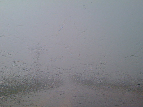
Things got fairly intense as I turned onto 48th street going north...
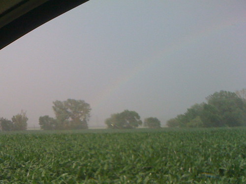
...but then seemingly just to east, the rainbow reappeared...

...right there in that cornfield, not 30 yards away...
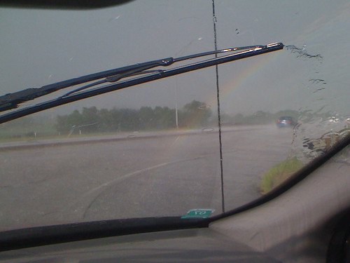
...um, more like on the hood of my car!Now I just have to figure out how to spend this pot of gold. More
here.
No comments:
Post a Comment